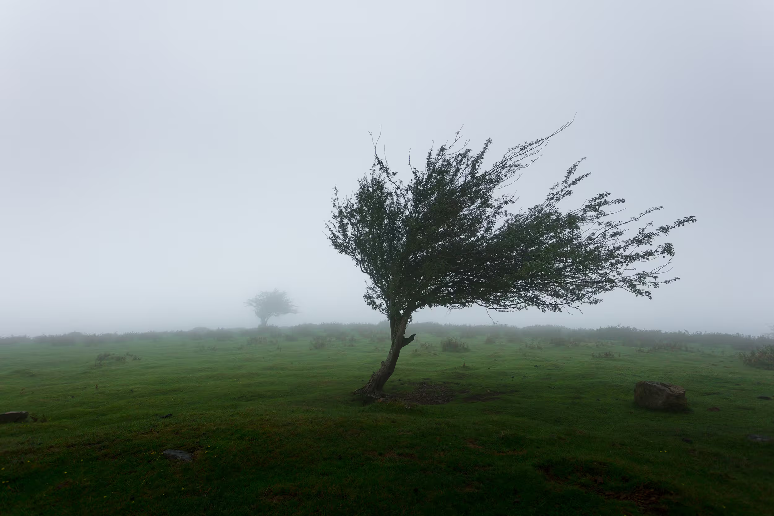
Brace for Impact: Severe Winds and Giant Hail Threaten the Southern Plains
June 9, 2025

By Unis
Overview
A potent storm system is set to roll across portions of the Southern Plains this Sunday, bringing the risk of life-threatening winds and massive hail. According to the National Weather Service’s Storm Prediction Center, destructive straight-line winds of 80–100 mph and hailstones up to 5 inches in diameter could occur during the afternoon and evening hours.
<blockquote class="twitter-tweet"> …Twitter embed HTML… </blockquote> <script async src="https://platform.twitter.com/widgets.js" charset="utf-8"></script>Areas Affected
- Primary Threat Zone: Western Texas, the Texas Panhandle, southwestern Oklahoma, and southeastern New Mexico
- Timing: Storm initiation by early afternoon, with peak intensity from 3 p.m. to 9 p.m. CDT on Sunday
Expected Impacts
- Destructive Winds (80–100 mph)
- Large-tree damage, overturned trailers, structural impacts
- Likely power outages and blocked roads from downed debris
- Giant Hail (Up to 5 inches)
- Softball-sized hail can shatter windows, dent vehicles, and damage roofs
- High risk to crops, outdoor equipment, and livestock
Preparedness Actions
- Secure Outdoor Items: Anchor or store patio furniture, trash bins, tools.
- Identify Safe Shelter: Use a basement or interior room away from windows.
- Stay Informed: Monitor NOAA Weather Radio, local broadcasts, and the NWS app.
- Emergency Kit: Pack water, nonperishables, flashlights, batteries, and first-aid supplies.
- Protect Vehicles: Park in a garage or under sturdy cover to avoid hail damage.
Safety Tips During the Storm
- Act on Warnings: If a Severe Thunderstorm Warning is issued, take shelter immediately.
- Avoid Windows: Flying debris and hail can break glass.
- Stay Off Roads: High winds and hail make driving extremely dangerous.
After the Storm
- Watch for Hazards: Stay clear of downed power lines and debris.
- Report Damage: Contact local authorities or utility companies to report outages and hazards.
- Check on Neighbors: Offer assistance to elderly or vulnerable community members.
Share Article


